What Is Land Surveying?
 Surveying has traditionally been defined as the science, art, and technology of determining the relative positions of points above, on, or beneath the earth’s surface, or of establishing such points. In a more general sense, however, surveying can be regarded as that discipline which encompasses all methods for measuring, processing, and disseminating information about the physical earth and our environment. Surveying has been important since the beginning of civilization. Its earliest applications were in measuring and marking boundaries of property ownership, referred to as land surveying today. This continues today with the addition of construction surveying, route surveying, geodetic surveying, etc.
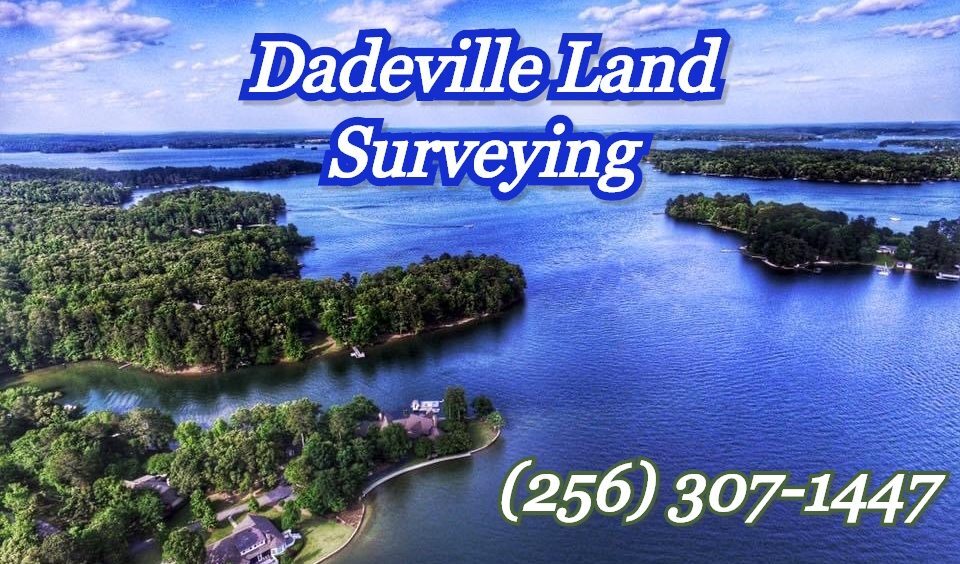
Dadeville Land Surveying – Land Surveying Expertise
Dadeville Land Surveying has offered the following types of Land Surveying services:
- Land Boundary Survey
- Lot Closing Survey or Mortgage Survey
- Property Line Location
- Topographic Surveying
- Elevation Survey – Floodplain Survey
- Groundwater Monitoring Well Locations
- Aerial Target Surveying
- GPS Surveying – Control Surveying
- Construction Surveying
- House Staking
- Percolation & Soil Testing (Perc Tests)
- Subdivision Surveying
- Estate Division Surveying
- Subdivision Plat Preparation
For Your Land Surveying needs:<
Call Dadeville Land Surveying today at (256) 307-1447 to discuss how we can help with your land surveying needs.