Boundary Survey Basics: What It Covers and Why It Matters
If you own property, or you are getting ready to buy, sell, or build on a piece of land, there is one document that comes up more than almost any other. The boundary survey. Most people have heard the term but are not entirely sure what it involves, what it covers, or why so many real estate professionals insist on having one done.
This article breaks it all down so you know exactly what a boundary survey is, what you can expect from the process, and why it matters more than most homeowners realize.
What Is a Boundary Survey
A boundary survey is a professional measurement and documentation of a property’s legal boundaries. A licensed land surveyor researches the legal description of your property, reviews historical records and deeds, and then goes out to the field to locate and mark the actual corners and boundary lines of your land.
The end result is a stamped survey document that shows exactly where your property begins and ends. It is a legal record. It can be used in real estate transactions, construction projects, permit applications, and legal disputes.
In simple terms, a boundary survey answers one fundamental question. Where exactly does my property end and my neighbor’s begin?
What a Boundary Survey Covers
A lot of people assume a boundary survey is just someone walking around with a measuring tape. It is much more involved than that.
Here is what a proper boundary survey actually covers.
Title and Records Research
Before the surveyor sets foot on your property, they spend time in the office. They pull your deed, review the legal description of the property, check historical surveys, and look at county records. This research phase is critical because old records sometimes contain errors or inconsistencies that need to be identified and resolved before fieldwork begins.
Fieldwork and Measurement
Once the office research is done, the surveyor heads out to the property. Using professional grade equipment, they locate existing boundary markers such as iron pins or rebar, measure the property lines, and establish the corners of the property based on the legal description and the physical evidence they find on the ground.
Marking the Corners
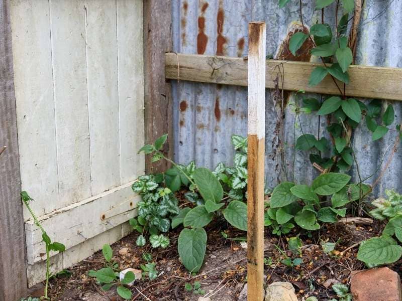
If boundary markers are missing or have been disturbed, the surveyor will place new ones. These are typically iron pins driven into the ground at each corner of the property. These markers are what your fence contractor, builder, or neighbor can physically see and reference.
The Final Survey Document
After the fieldwork is complete, the surveyor drafts a plat or survey map showing the property boundaries, dimensions, and any relevant features. This document is signed and stamped by the licensed surveyor, making it a legally valid record of your property lines.
When Do You Need a Boundary Survey
There are several common situations where a boundary survey becomes necessary or strongly recommended.
Buying or selling property. A boundary survey protects both the buyer and the seller by confirming exactly what is being transferred. It prevents surprises after the deal closes.
Building a fence or structure. Before any permanent structure goes up, you need to know where your property line sits. Building over the line, even by a few inches, can create legal problems.
Resolving a neighbor dispute. If you and your neighbor disagree about where the property line falls, a boundary survey provides a legally documented answer that removes the guesswork.
Applying for a building permit. Many local governments require a current survey before issuing permits for new construction or major additions.
Dividing or subdividing land. If you plan to split a piece of property into smaller parcels, a boundary survey is the starting point for that process.
Refinancing or getting a home equity loan. Some lenders require a current survey before approving financing, especially if the property has not been surveyed recently.
How a Boundary Survey Protects Your Property Rights
Your property boundaries are not just lines on a map. They define your legal rights as a landowner. Knowing exactly where those lines are protects you in ways that go beyond just avoiding neighbor disputes.
It prevents encroachments. An encroachment happens when someone else’s structure, fence, or landscaping crosses onto your property. Without a survey, you may not even know it is happening. A boundary survey makes it visible so you can address it before it becomes a bigger legal issue.
It protects you during construction. If you are building a home, an addition, or any other structure, knowing your exact property lines ensures your project stays within legal setback requirements and does not cross onto neighboring land.
It gives you documentation. In any legal dispute involving your property, a stamped boundary survey from a licensed surveyor carries significant weight. It is far more reliable than assumptions, old fences, or informal agreements.
How Much Does a Boundary Survey Cost
For a standard residential lot, a boundary survey typically costs between $500 and $1,500. The exact cost depends on the size of the property, how much historical research is required, the terrain, and the complexity of the boundaries.
Larger rural properties or those with complicated boundary histories will cost more. But for most homeowners, the cost of a boundary survey is modest compared to the protection it provides.
It is also worth noting that if you skip the survey and a boundary problem comes up later, the cost of resolving it through legal channels will far exceed what you would have paid for the survey upfront.
How to Find a Reliable Surveyor for a Boundary Survey
When looking for a surveyor for a boundary survey, start with licensing. Every land surveyor practicing must hold a valid license issued by the Alabama Board of Licensure for Professional Engineers and Land Surveyors.
Beyond licensing, look for local experience. A surveyor who knows Tallapoosa County and the surrounding area will be familiar with local records, common boundary issues in the region, and the specific quirks of land descriptions in this part of Alabama. That local knowledge speeds up the process and reduces the chance of anything being missed.